_edited_edited.jpg)

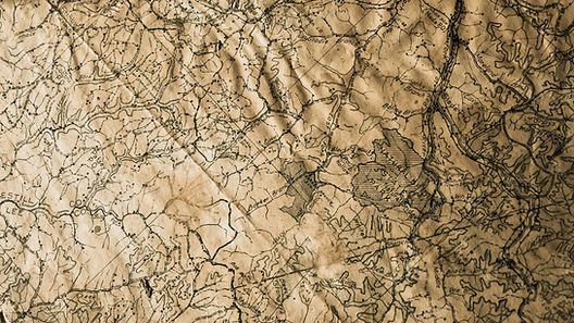
Topographic Survey Experts You Can Rely On
Let Us Help You Distinguish the Natural Features of Land
Trust Daniel H. Elder Land Surveying for all your topographic survey needs. Whether you need a topographic survey to draft your drainage plan or construction plan, we can help. We have state-of-the-art equipment to give you accurate measurements every time.
Our topographic survey will pinpoint the size, height, and location of changes that have been made over the years. These kind of surveys help to track hills, trees, fences, buildings, and other structures. Count on us to provide you with the survey in various media formats for convenient usage when you need it.
Aerial Photography
Count on our aerial photography experts for vertical, oblique, spot shots, black and white images, and high-quality color photos. We can also do aerial targeting and missing area fill.


State-Of-The-Art Technology
Our topographical survey measurements are mostly done with high-quality GPS technology or with an electronic EDM instrument, which can measure distance using light and radio waves and gives highly accurate results every time.
Uses of Topographical Survey
-
Designing buildings
-
Governmental use
-
Construction projects
-
Drainage ditches and grading
